
From mapped data to a field-verified report
Start the waters report from the desktop record, send the crew out with the official forms, then bring their records back in. The report updates once the survey is approved.
Regulated Waters Assessment
Wetlands, ponds, streams and ditches, drafted from the desktop record and updated from the field delineation, with a land use and land cover figure and the severance and secondary impacts.
Regulated Waters and Listed Species Assessment
Adds the listed species survey: gopher tortoise burrows, wildlife observations, habitat communities and agency data requests.
Proposals and Letters
Field work proposals, reliance letters and technical letters, written from the project and your rates and terms.
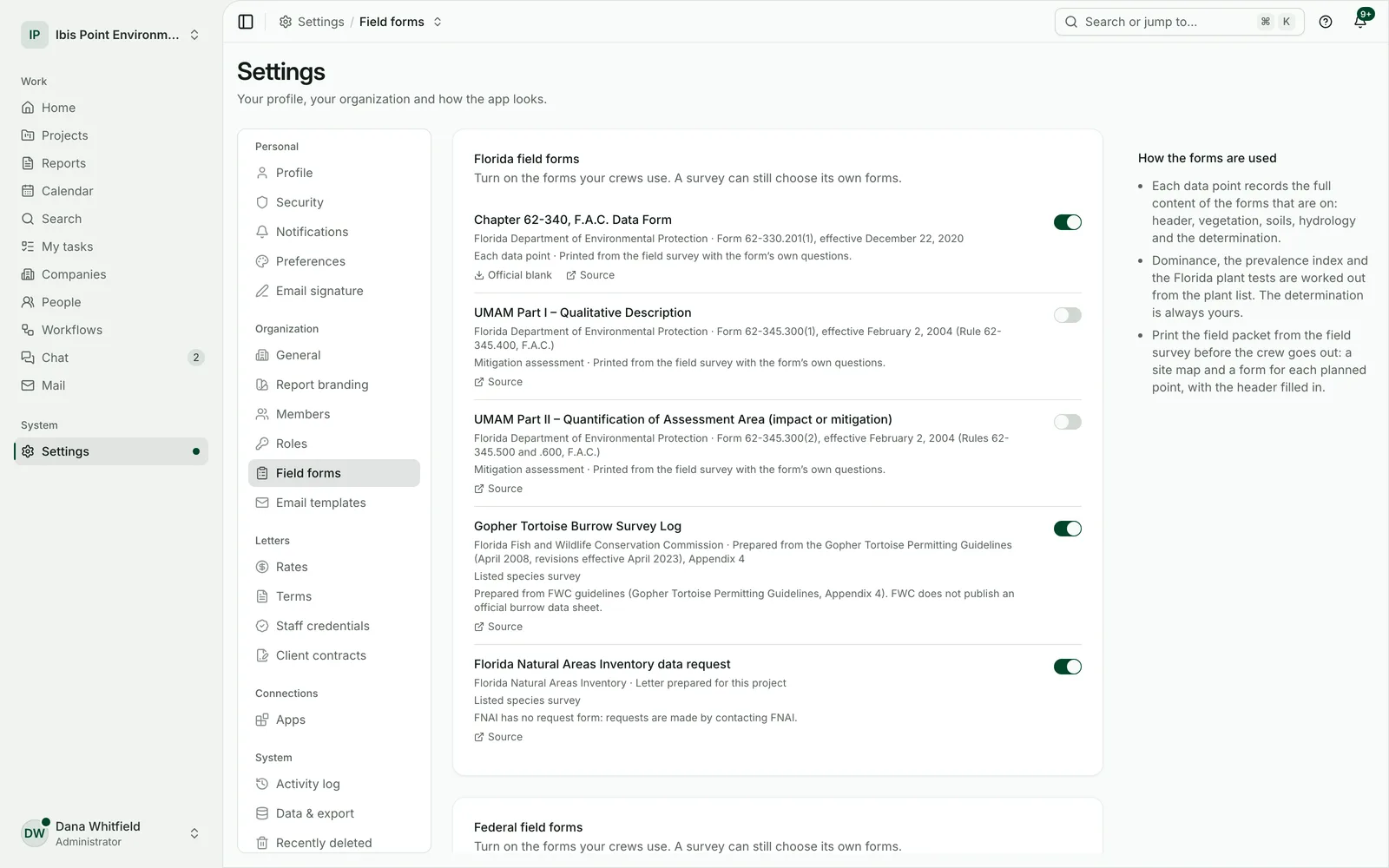
Official field forms
USACE wetland determination forms and Florida 62-340 data forms, filled from the survey and printable as a field packet.
Survey123 and ArcGIS import
The crew’s points, lines, photos and form answers come back into the project from Survey123, ArcGIS or GPS files.
Your crew’s work, kept as their work
- 1
Nothing invented
Until the crew’s records are in, the report says what is mapped, not what is there.
- 2
Checks before approval
Incomplete forms and suspect geometry are listed so they can be fixed before the survey is approved.
- 3
Decisions stay with people
Where the data needs a professional opinion, the survey asks for one instead of guessing.
See it on your own site
Start a 14-day free trial and draft your first report on a site you know. No card needed.