The public record, made usable for site work
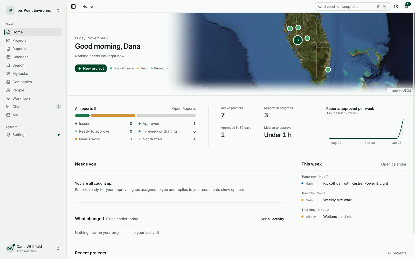
Environmental Nexus drafts environmental due diligence and permitting reports from government data and your project files, for your team to review, approve and issue.

Why it exists
Most of a desktop site study is public record: wetland maps, soils, flood zones, species lists, parcels. Gathering it, checking it and writing it up takes a consultant days, and every project starts from zero.
Environmental Nexus does the gathering and the first draft. It queries the agencies for the site, keeps every answer with the project, and writes the report with each value cited. The judgement, the fieldwork and the signature stay with your professional.
How it treats your work
- 01
Every value is cited
Each number and finding names the agency source it came from, so a reviewer can trace it.
- 02
Unknown is not zero
Missing or unreachable data shows up as a visible gap for your team, never as “no impact”.
- 03
Mapped data says so
Desktop data is labelled as mapped data, with its limits stated. A mapped wetland is not a delineation.
- 04
Nothing invented
It never makes up fieldwork, agency decisions, professional signatures or risk scores.
- 05
Your professional signs
Approval inside the product is an internal step. Your own licensed professional signs and issues the final report.
- 06
Your wording sticks
Staff can edit any paragraph of a draft, and their wording carries into later versions.
What it covers today
14 project types: solar, battery storage, substations, transmission lines and other corridors, pipelines and data centers. Line projects are handled with a centerline, a corridor, stations, map books and the counties they cross. Florida first; see the FAQ for coverage.
See it on your own site
Start a 14-day free trial and draft your first report on a site you know. No card needed.